

What Sierra Snow Says About California’s Water


What Sierra Snow Says About California’s Water

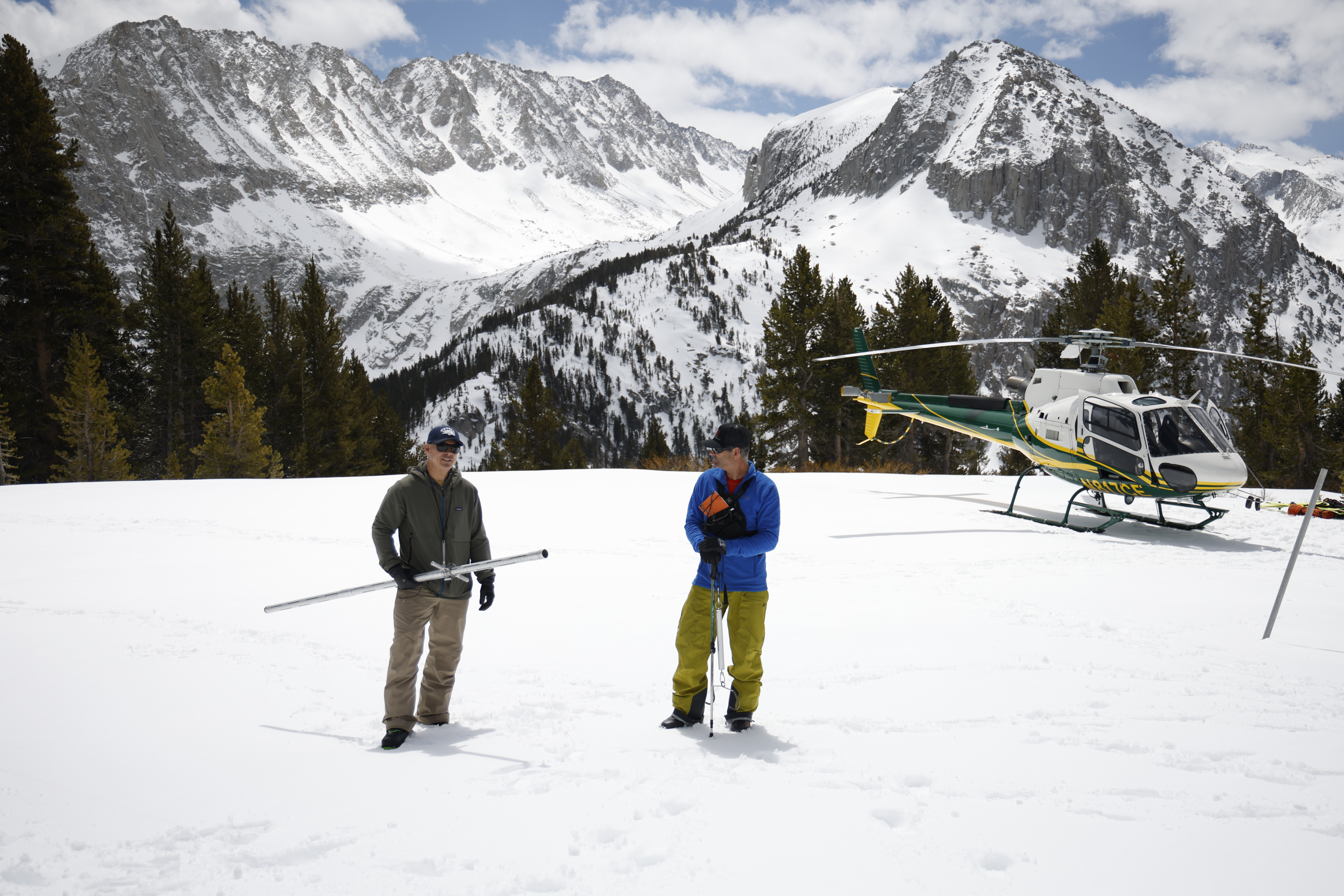
The alpine scene feels like the set of a ‘70s James Bond movie: a helicopter prepping for takeoff, jagged, snow-covered mountains and two men in skis gearing up for a high-country mission.
High in the Sierra Nevada, SCE hydrographers Derrick Tito and Jeff Sherman conduct an annual snowpack survey to gather the data behind California’s water outlook.
Except, they’re not spies chasing a villain — they’re Southern California Edison hydrographers chasing data in the Sierra Nevada.
“This is our laboratory,” said SCE Hydrographer Derrick Tito. “What we find is going to help people make decisions about how to manage one of the state’s most important natural resources — water.”
He and fellow SCE Hydrographer Jeff Sherman complete a snowpack survey each year to help answer a deceptively simple question: If all this snow melted, how much water would it turn into, and what would that mean for California?
People’s livelihoods depend on the answer. That’s why SCE shares its survey data with the California Department of Water Resources, supporting water management decisions about reservoirs, irrigation and flood protection. SCE also uses results to forecast the amount of water that will move through its Big Creek Hydroelectric Project and how much is available for recreationists who enjoy the many SCE reservoirs it feeds.
“We call the Sierra Nevada snowpack a ‘frozen reservoir,’ because it stores water through winter and releases it slowly through spring and summer,” said Sherman. “It makes up roughly a third of the state’s annual water supply, so it’s important that we keep tabs on what’s happening up here.”
From December through April, SCE hydrographers travel to 23 established snow courses — marked routes that have been measured the same way for 80 to 100 years, so the numbers can be compared across time.
“The measurements we take aren’t just snapshots; they’re part of a long-running story about how California’s water supply is changing,” said Tito.
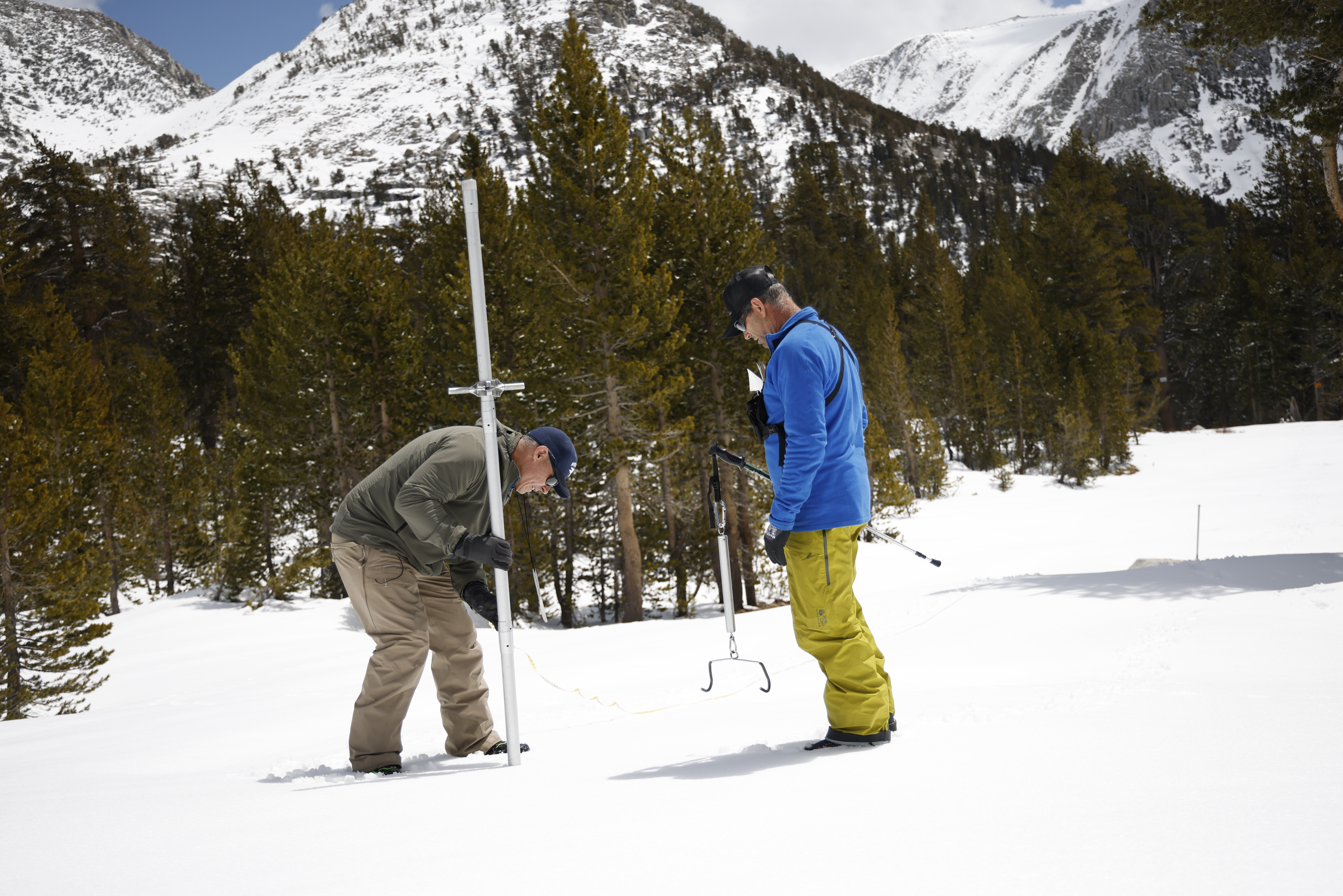
At each stop along the snow course, Derrick Tito drives a 1½-inch hollow aluminum tube into the snow while Jeff Sherman steadies the scale to measure how much water the snowpack holds.
Getting to snow courses can be half the adventure. Hydrographers hitch a ride with SCE Aircraft Operations to reach remote parts of the Sierra. Once they land, Sherman and Tito slide easily into the rhythm of their craft. They’ve been a team performing SCE snow surveys together for the past 14 years.
First, Tito drives a long, hollow tube into the snow and pulls out a sample. Using a handheld scale, Sherman then weighs it to calculate the snow water equivalent — essentially, how much water is stored inside the snowpack.
“It’s been a moving target because of the unusual winter,” said Sherman. “We had a few big storms, but also long stretches with no rain, and even saw melting where we’d usually expect buildup.”
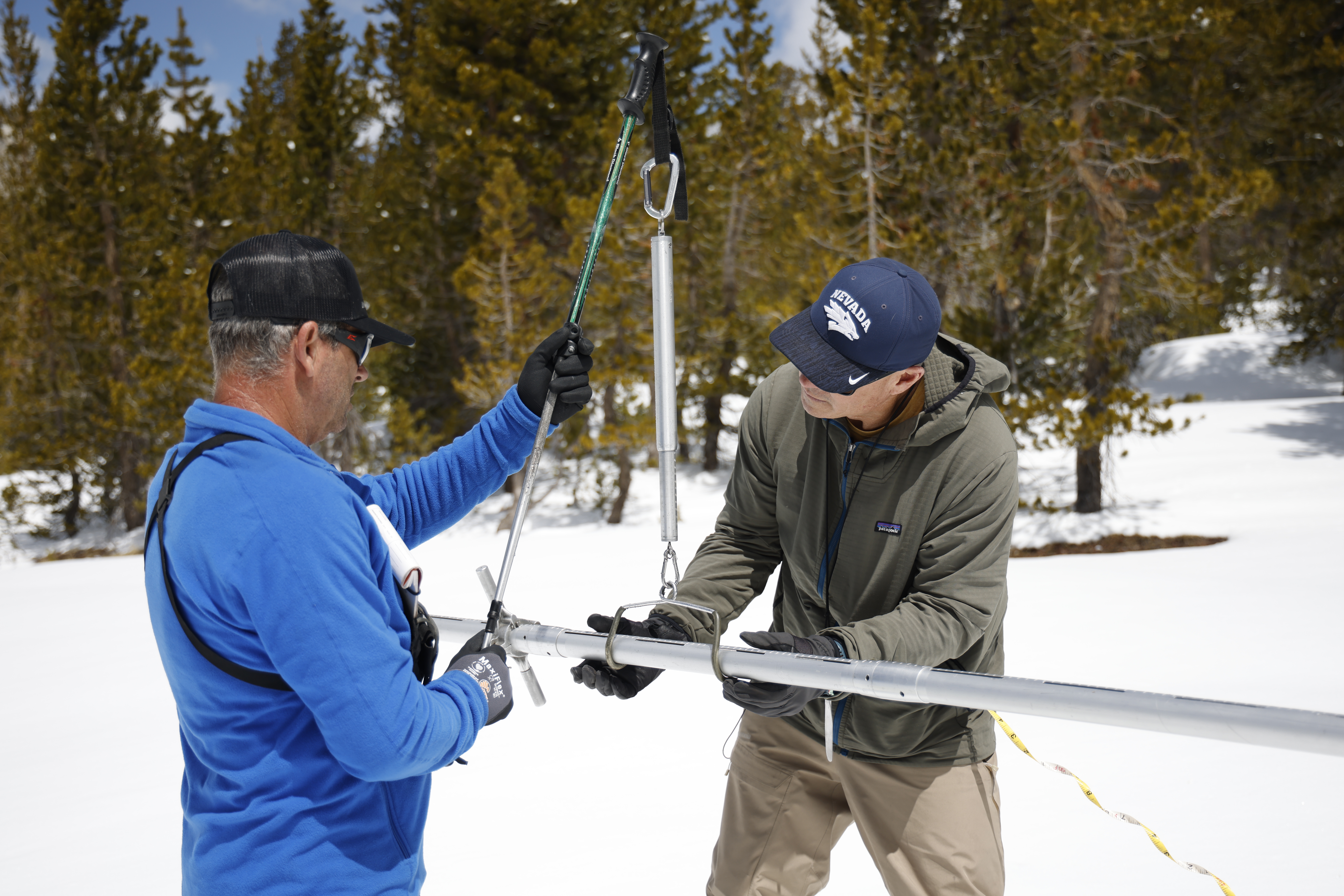
Working in sync, SCE Hydrographers Jeff Sherman (l) and Derrick Tito weigh a freshly collected snow sample, a key step in calculating how much water is stored in the Sierra snowpack.
On April 1 — after California river basins experienced their driest March on record — the snowpack measured 46% of average in the San Joaquin River basin. That number rose to 55% by the end of April after late-season storms but remained overall lower than last year’s snowpack measuring at about 70% of normal.
While snowpack surveys may feature a helicopter and a dramatic backdrop, for Tito and Sherman, the real thrill is simpler: careful measurements, done the right way, that help Californians understand what’s coming next.
“It’s about making good decisions based on real data,” Tito said. “And it’s pretty amazing to be a part of that legacy.”
For more information on clean power, visit edison.com/cleanenergy.